no, palomar airport road west of rancho santa fe rd, east bound lane.
Flatbed truck to Palomar.
--
David Leonard
Turbo Rotary RV-6 N4VY
http://N4VY.RotaryRoster.net <
http://n4vy.rotaryroster.net/
http://RotaryRoster.net
Palomar Airport Road becomes West San Marcos Blvd.
Paul Lamar
In the section just east of Business park road. Business park road was
the light I went under.
David Leonard
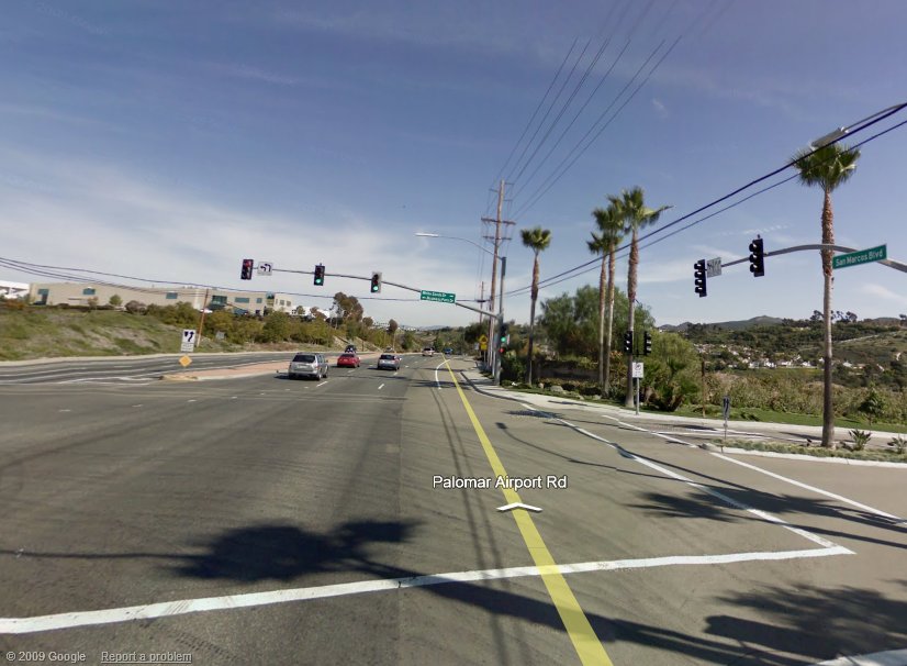
Right about here? (From Google Maps, Street View)
Harley
That is next to the Palomar airport several miles away.
The airport is up on the hill to the left.
No picture on Google maps as far as I can tell.
Paul Lamar
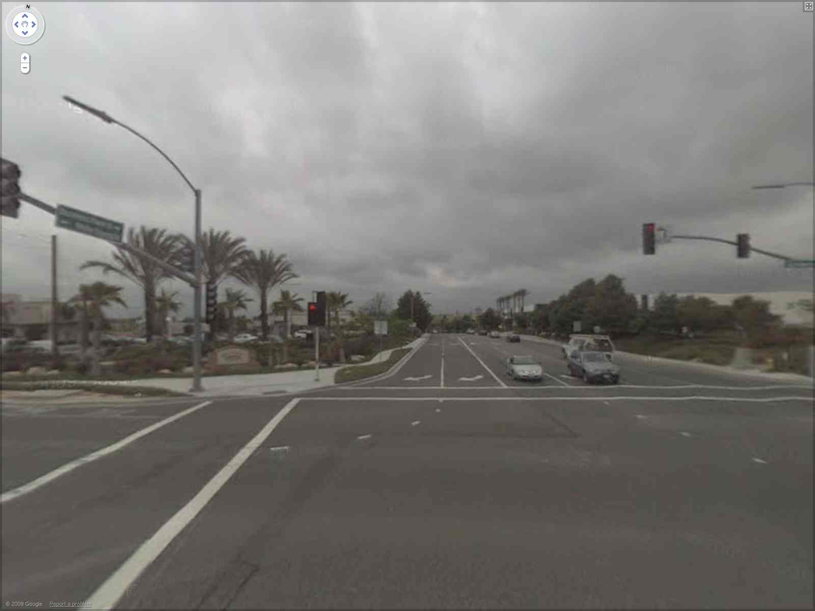
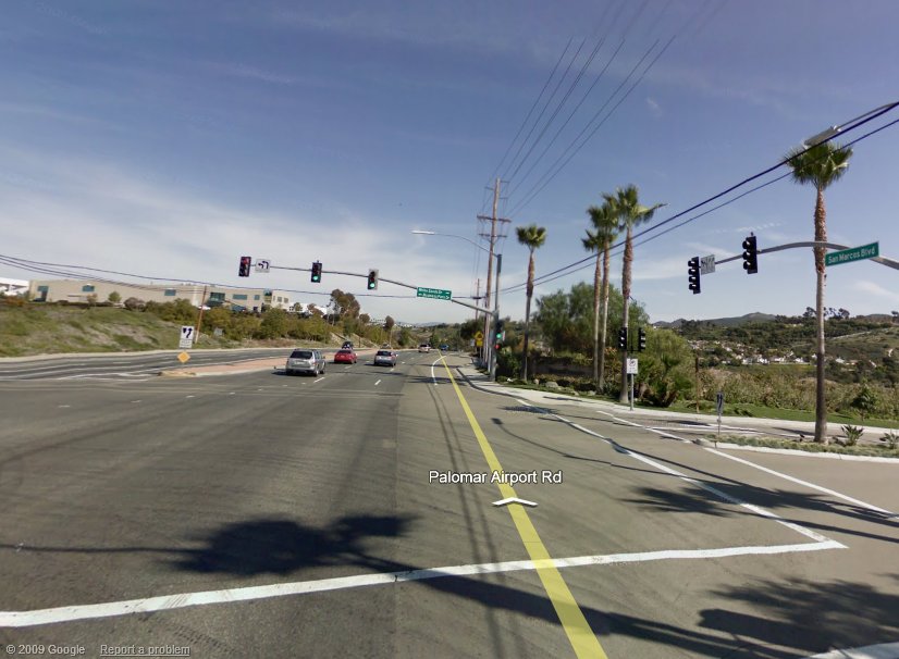
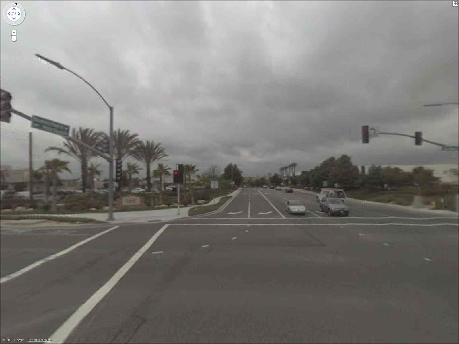
This image is looking east from the Business Park Road intersection (to
the left)...and the intersection where Palomar Drive (behind the camera)
becomes San Marcos Blvd (straight ahead ...see the sign to the right).
If you double click to cross this intersection, the yellow line that
Google places in the image changes from Palomar Drive to W. San Marcos
Blvd.
I uploaded this picture as I think this is the light that Dave said he
flew under...if so, WOW! Great flying! Or "gliding" as the case may be
to miss those wires as well!
According to Google Maps (and Google Earth) the location in this image
is 3 miles east of the Palomar airport (along Palomar Airport Road).
These images continue updating unbroken along the roads for several
miles in every direction.
Harley
I stand corrected.
I also learned something about google maps.
Amazing. How do they get all these panoramic pictures?
Thanks Harley.
Paul Lamar
--
The Rotary Engine NewsLetter. Powered by Linux.
ACRE NL web site.
http://www.rotaryeng.net
Youtube key word PaulLamar2
Copyright 1998-2009 All world wide rights reserved.