Paul:
I finally got around to looking at the airport database you sent me.
The database loads and is very readable. I could use it for a variety of
purposes. Some of the data fields are not immediately recognizable to
me, however. Do you have any documentation for field identifiers to go
with the database? What is the source of this data?
Also ... My flying experience has been almost all lo-tech ... without a
radio even ... so I am just trying to imagine how best to use this
database. Do you see something like a panel-displaying a map, showing
current position/course but also having little airport icons on the
screen, then somehow being able to query added airport information at
the discretion of the pilot?
Also ... I have now done additional testing of my GPS dongle using a
Linux TCL script file. Last night's USMail contained a 10' USB
extension-cord. I can now crack open my office window and dangle my GPS
unit down the side of our hose and pick up a reliable GPSsignal (Our
house has a metal roof and those energy-efficient metalized windows, so
I have no signal in my GPS signal in my office).
Combining my Linux GPS program's data output with a Google map display
indicated that last night I was locate out in my yard, right on top of
the septic tank in fact, so I guess that is close enough. :)
R. Berglund
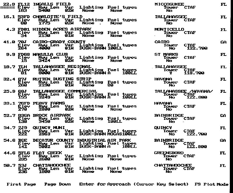
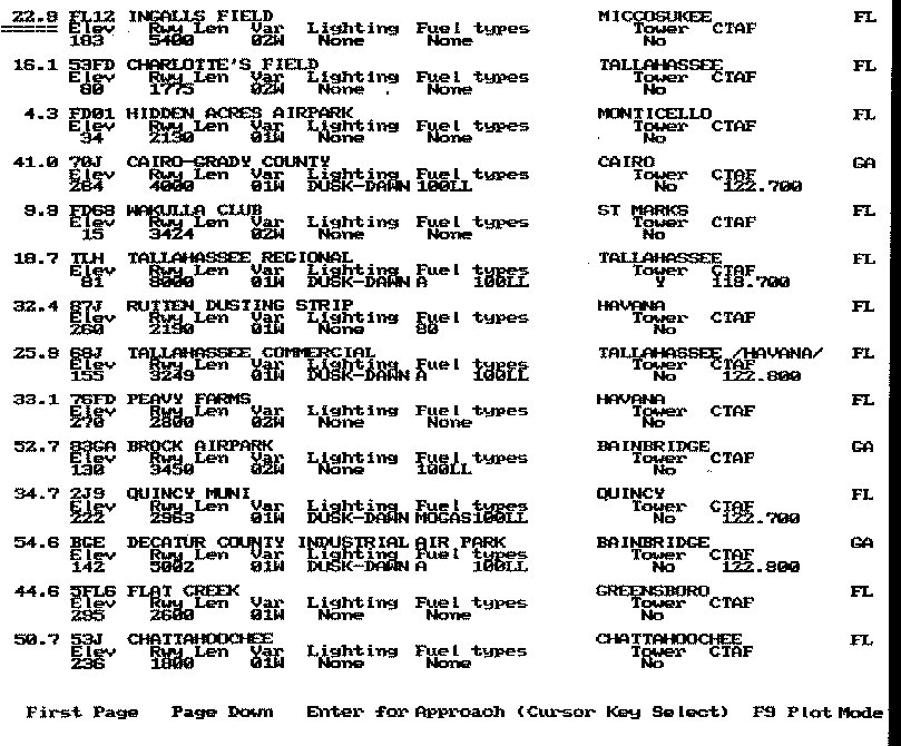
With out looking at the QB source it is difficult to identify the
fields. The data came directly from the FAA data base that anybody can
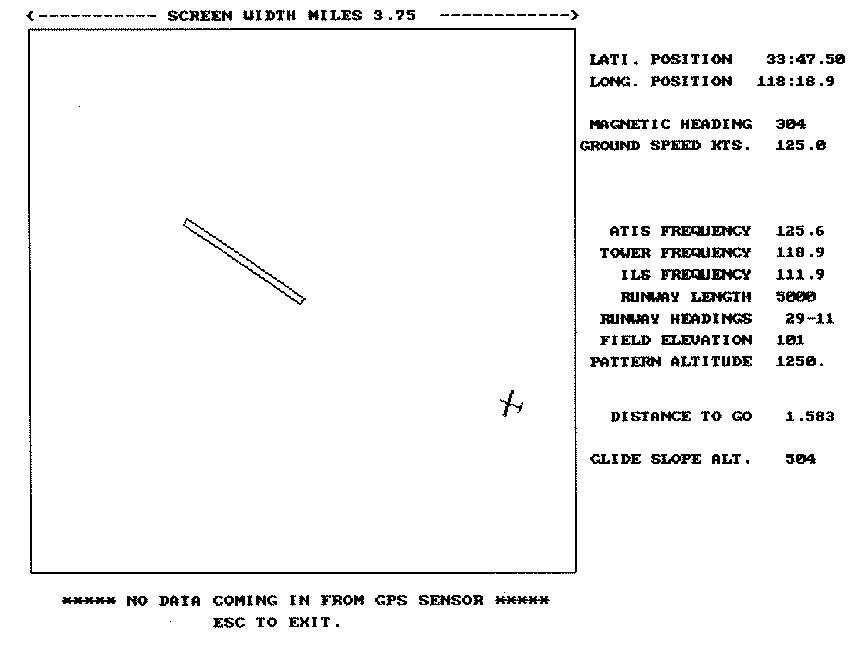
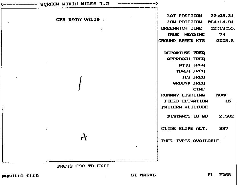
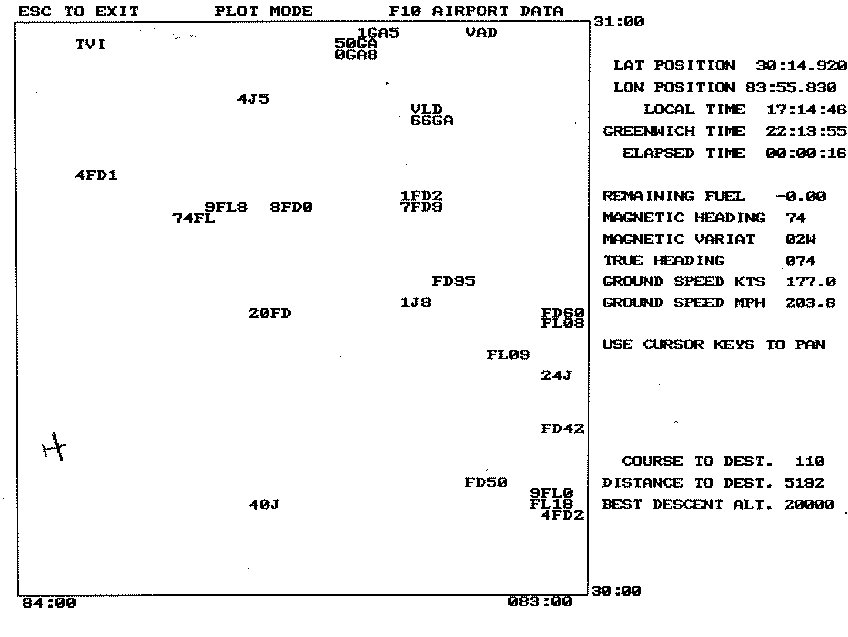
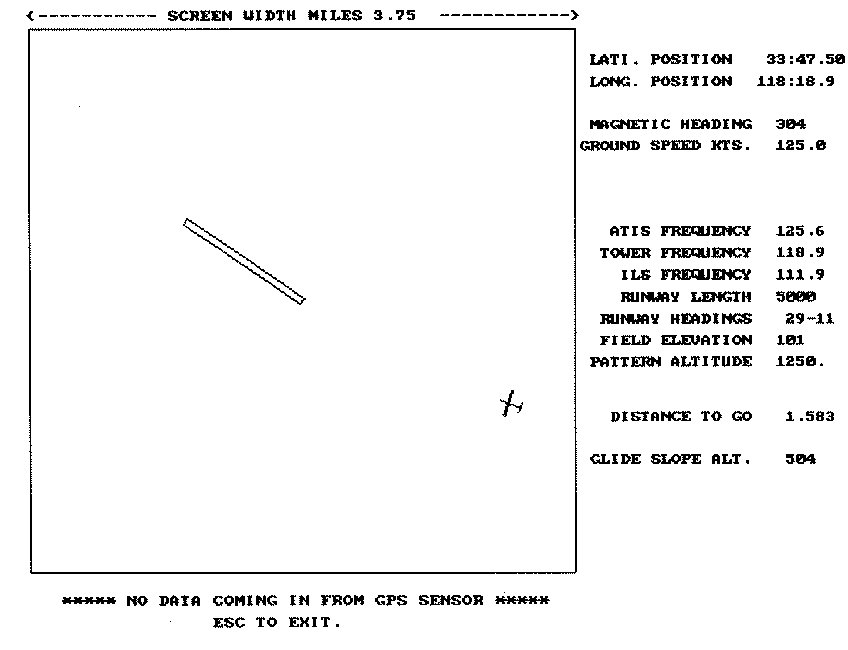
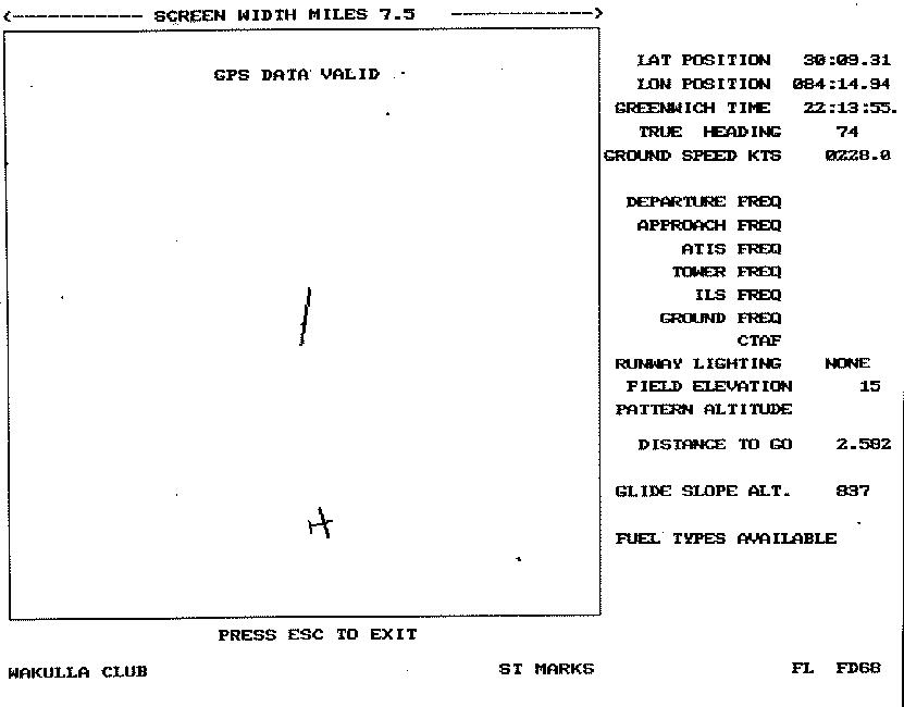
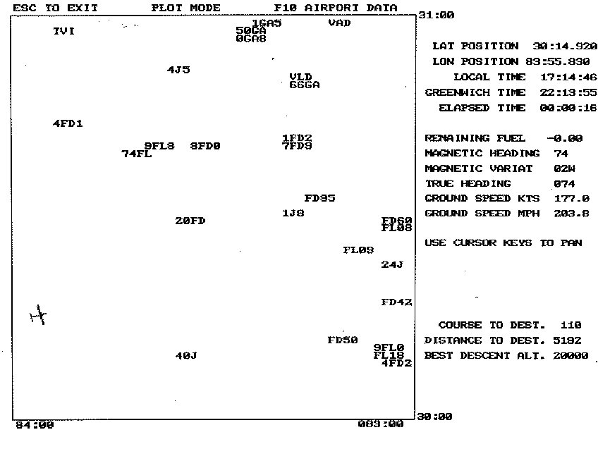
obtain for the cost of the media. Here are some screen shots of my MM
DOS QB program. It was 20 years ahead of it's time :) I was written
around 1998.
If you can run QB programs in a DOS simulator I'll send you the complete
source code and you can see how it works in moving map program.
You can run DOS in Windows XP.
Paul Lamar
The Rotary Engine News Letter. Powered by Linux.
ACRE NL web site.
http://www.rotaryeng.net
You Tube key word PaulLamar2
Copyright 1998-2012 All world wide rights reserved.