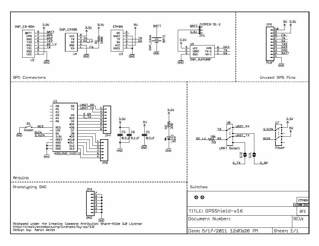
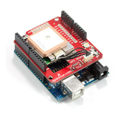
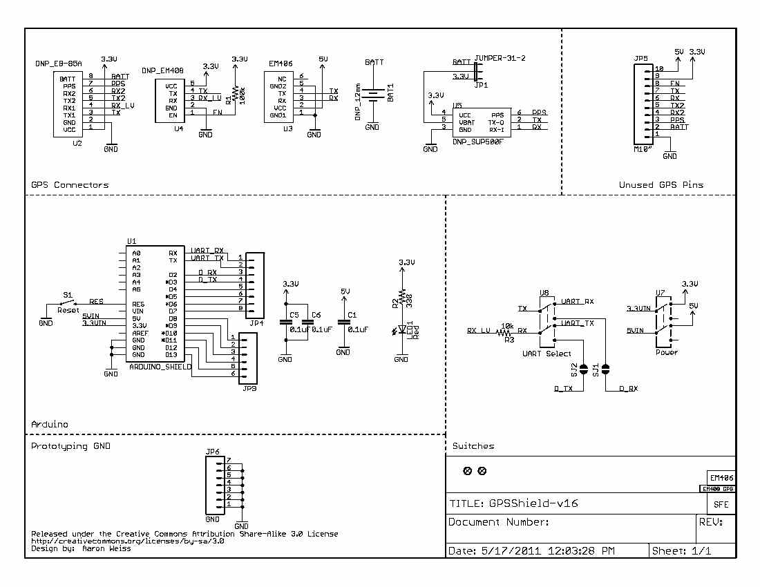
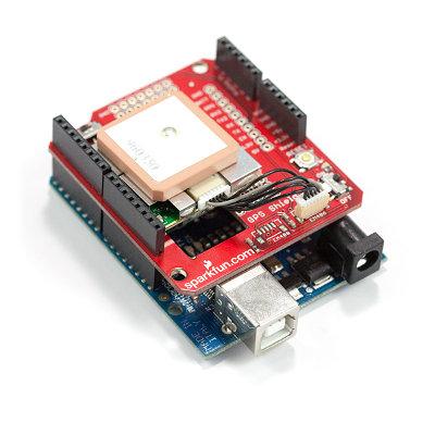
Anybody have an experience with this product?
https://www.sparkfun.com/tutorials/173
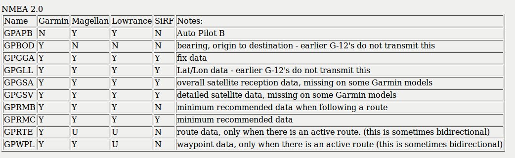
Does it use the NEMA 0183 protocol adopted by the avionics world around
1990?
NMEA 0183 is a combined electrical and data specification for
communication between marine electronics such as echo sounder , sonars
anemometer gyrocompass autopilot GPS receivers and many other types
of instruments. It has been defined by, and is controlled by, the
National Marine Electronics Association It replaces the earlier NMEA
0180 and NMEA 0182 standards.In marine applications, it is slowly being
phased out in favor of the newer NMEA 2000 standard.
The receiver connects to the computer with an RS232 interface.
The NMEA 0183 standard uses a simple ASCII serial communications
protocol that defines how data are transmitted in a sentence from one
talker to multiple listeners at a time.
Sentence $GPGGA,123519,4807.038,N,01131.000,E,1,08,0.9,545.4,M,46.9,M,,*47
Where:
GGA Global Positioning System Fix Data
123519 Fix taken at 12:35:19 UTC
4807.038,N Latitude 48 deg 07.038' N
01131.000,E Longitude 11 deg 31.000' E
1 Fix quality: 0 = invalid
1 = GPS fix (SPS)
2 = DGPS fix
3 = PPS fix
4 = Real Time Kinematic
5 = Float RTK
6 = estimated (dead reckoning) (2.3 feature)
7 = Manual input mode
8 = Simulation mode
08 Number of satellites being tracked
0.9 Horizontal dilution of position
545.4,M Altitude, Meters, above mean sea level
46.9,M Height of geoid (mean sea level) above WGS84
ellipsoid
(empty field) time in seconds since last DGPS update
(empty field) DGPS station ID number
47 the checksum data, always begins with *
My program mostly uses Lat Lon.
BASIC will read in the entire sentence use LINE INPUT
Then you parse it using MID$ to get the Lat Lon out.
Paul Lamar
The Rotary Engine News Letter. Powered by Linux.
ACRE NL web site.
http://www.rotaryeng.net
You Tube
http://tinyurl.com/beqqxas
Copyright 1998-2015 All world wide rights reserved.